

 video
video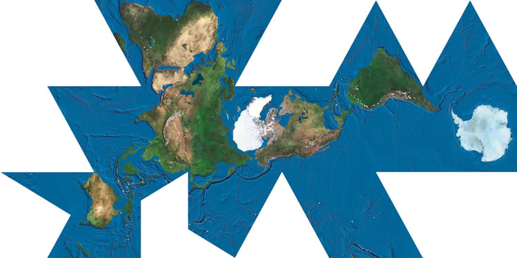

World maps
 Projections
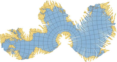
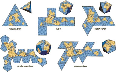
The world is round, but the map maker challenge is to put the round ball onto a flat map — that is, to render the three-dimensional object on a flat plane. For a visual illustration of the challenge see this video.
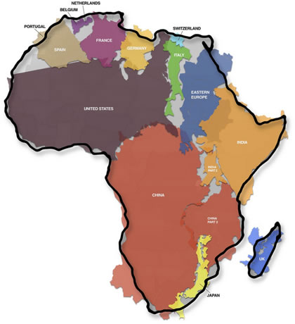
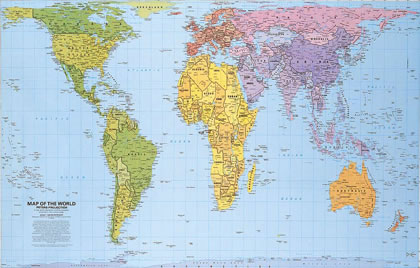
Mercatur is the most familiar projection, but the size of land masses near the poles, like Greenland and Antarctica, look proportionally much larger than they really are. Usually the map is shown with much of Antarctica cut off, which moves the equator below the middle of the map.
Several other projections attempt to solve some of these issues.
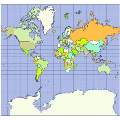
Equirectangular Projection is a conformal projection and maps meridians to vertical, evenly spaced, straight lines, and latitudes to horizontal, evenly spaced, straight lines.
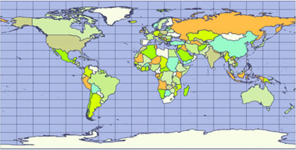
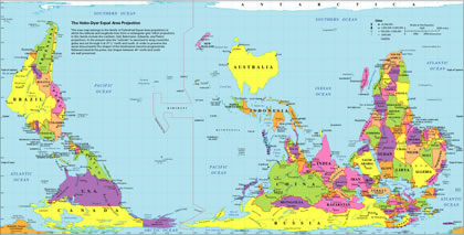
Gall-Peters Projection is an equal-area cylindrical projection. Though shapes of continents are distorted, the area of continents is proportional.
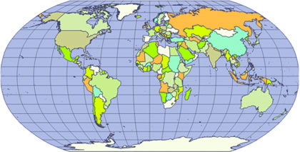
Robinson Projection is a compromise, neither equal-area nor conformal (straight lines). This was the map of choice for the National Geographic Society between 1988 and 1998.
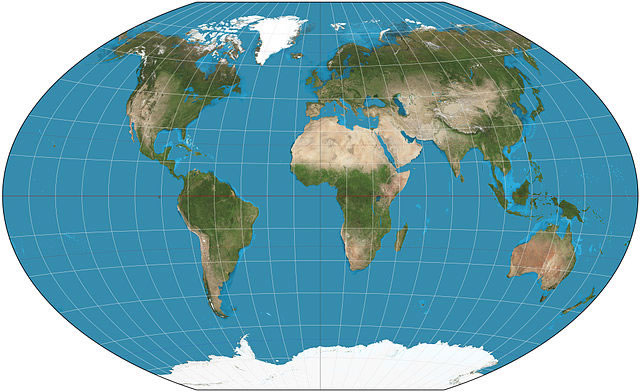
The Winkel-Tripel Projection is now the National Geographic Society's map of choice, a compromise between equirectangular and azimuthal projections.
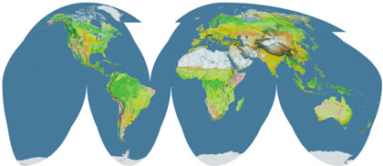
Goode's Projection is a pseudocylindrical, equal-area, composite map projection, making size and shape relationships of continents true, though the oceans are interrupted.
Hobo-Dyer puts Australia at the top and center.
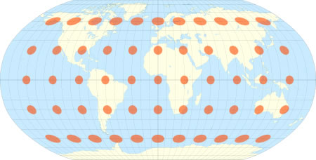
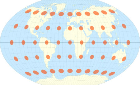
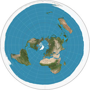
These projections are centered on Antarctica and the North Pole: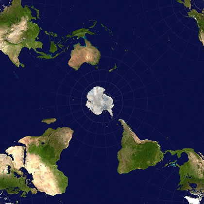
For more detailed info on mapping the globe:
Progonos
More Maps
Weather
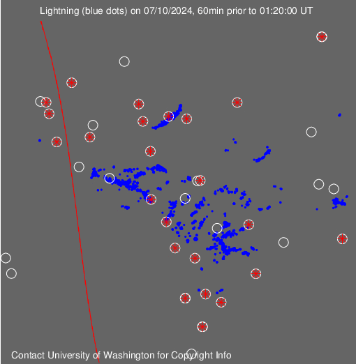
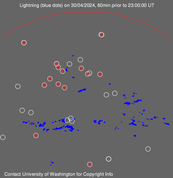
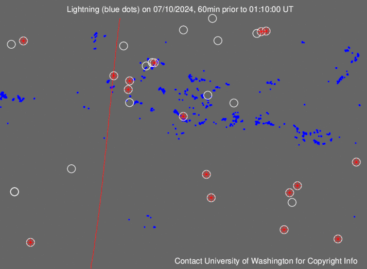
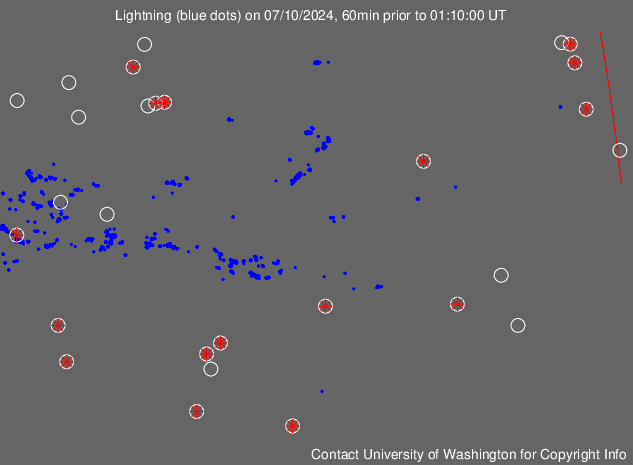
Lightning: Americas, Europe/Africa, Indian Ocean, Pacific
Earthquakes in the last week
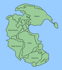 Plate tectonics (interactive)
Pangaea reconstruction movie
Satellite images
Most of U.S
Hurricane areas
World sunlight map
Other choices
Wildlife:
Monarch butterfly migration